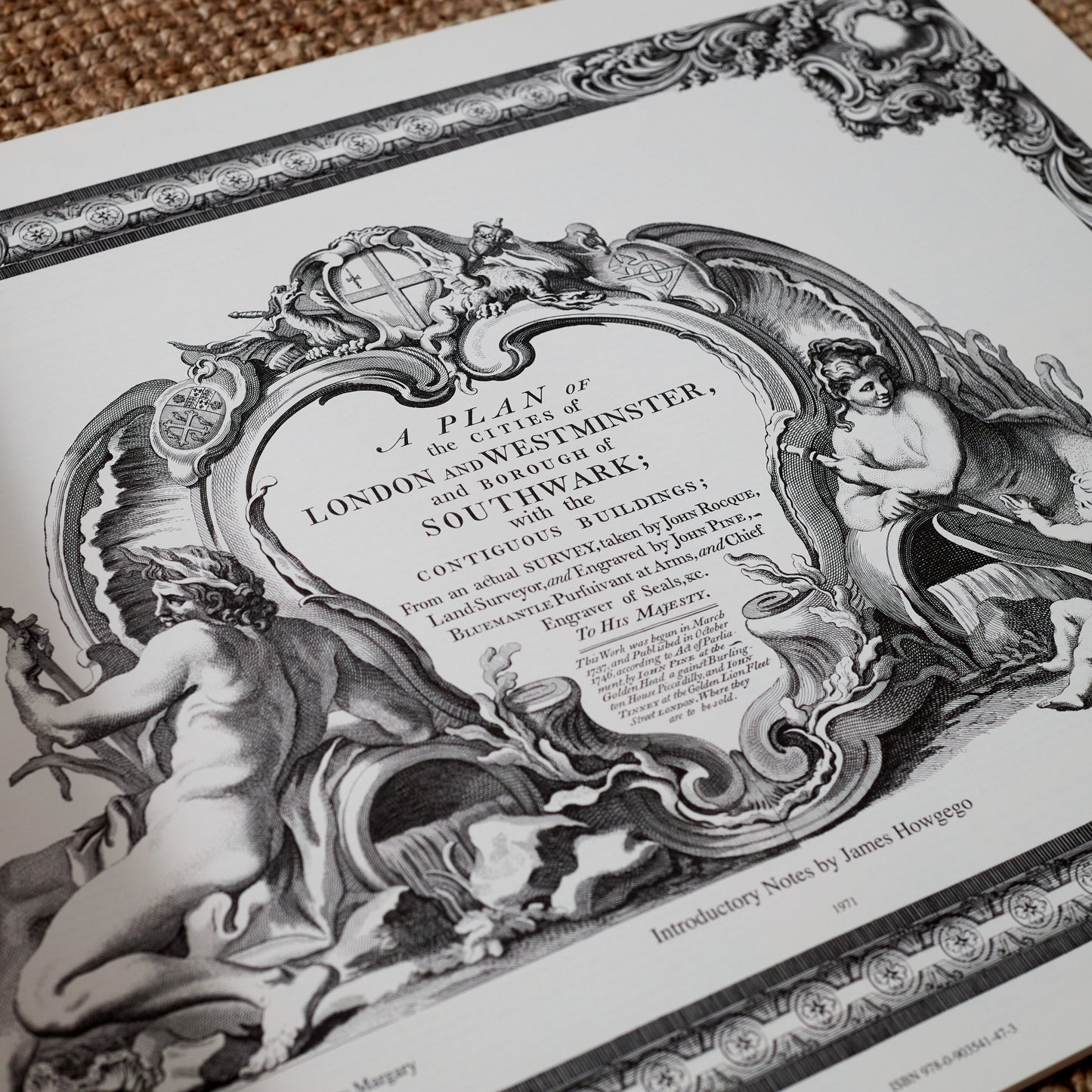
Rocque Plan of London, 1746.
Rocque Plan of London, 1746.
By Pentreath & Hall
In stock : 38Ref: GDM01
Couldn't load pickup availability
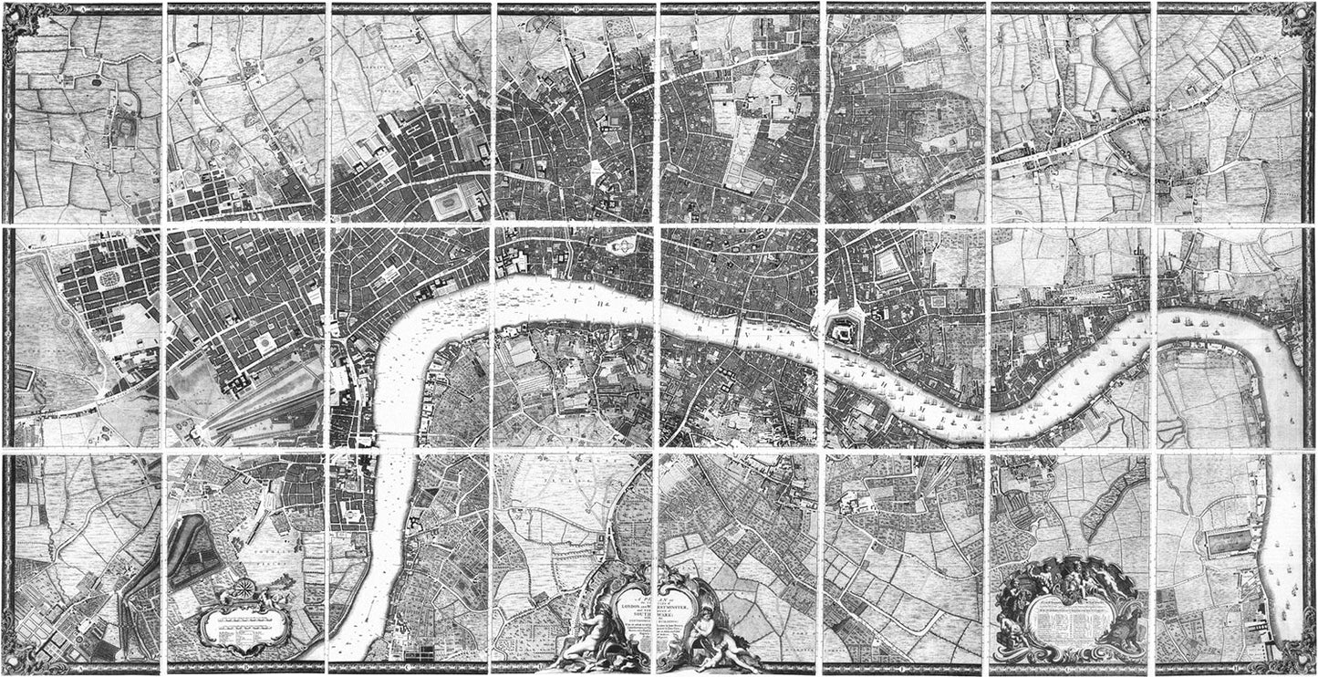
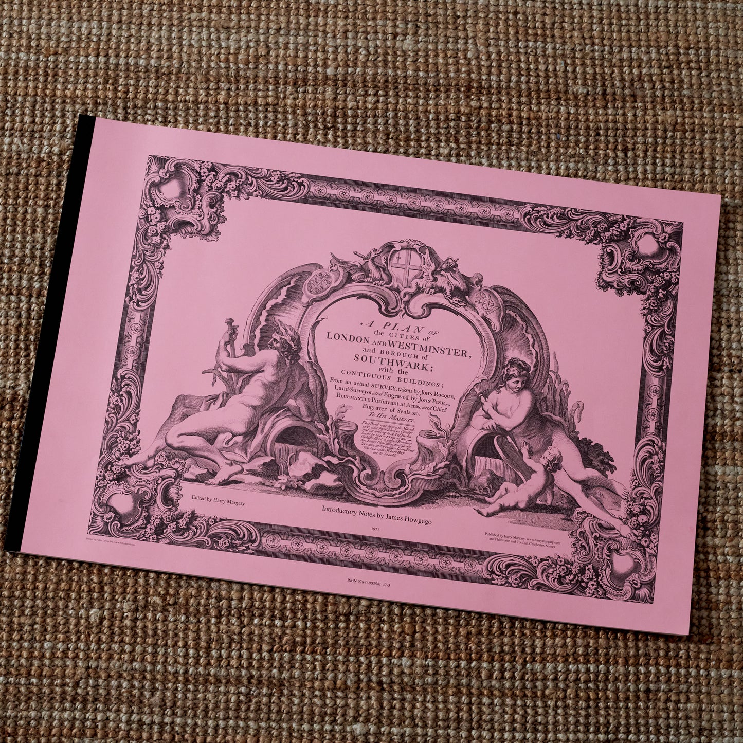
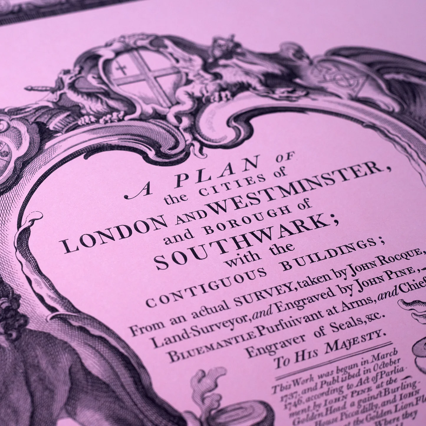
A Plan of the Cities of London and Westminster and Borough of Southwark.
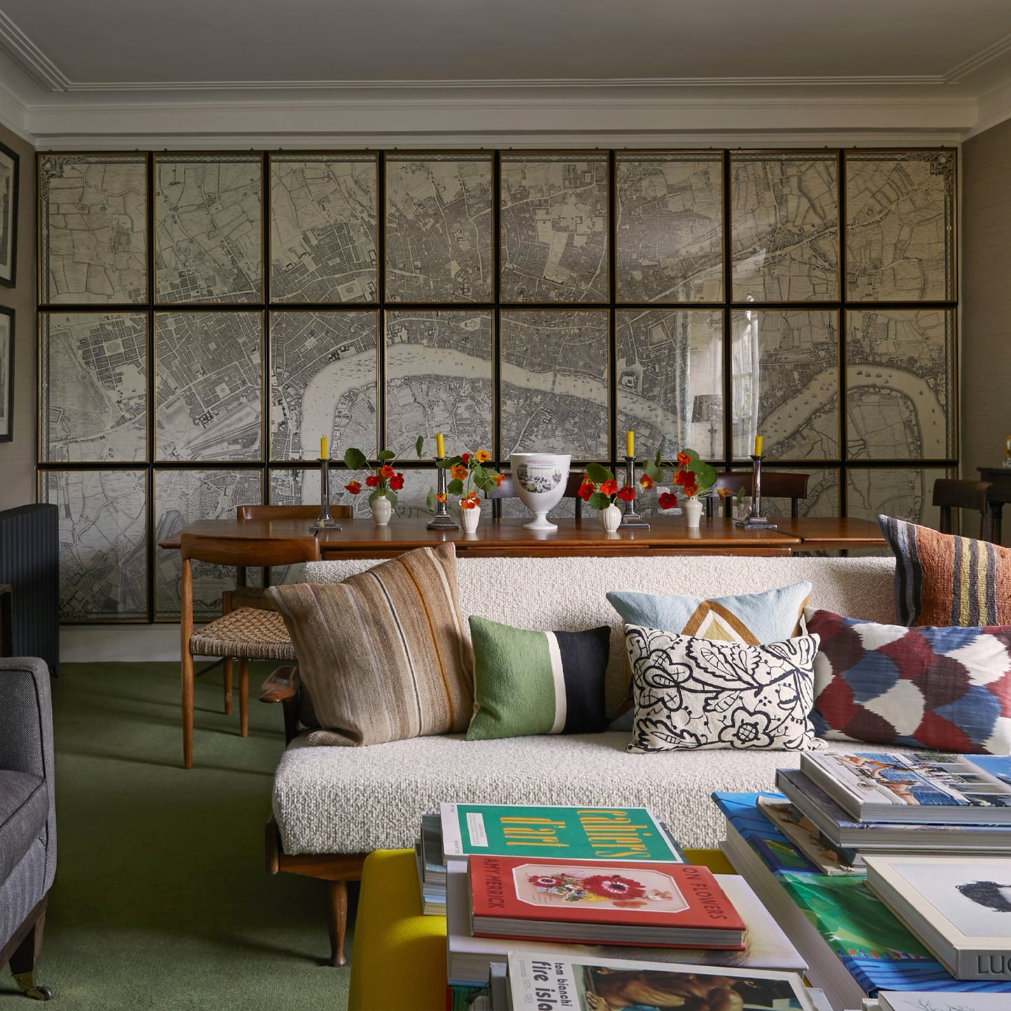
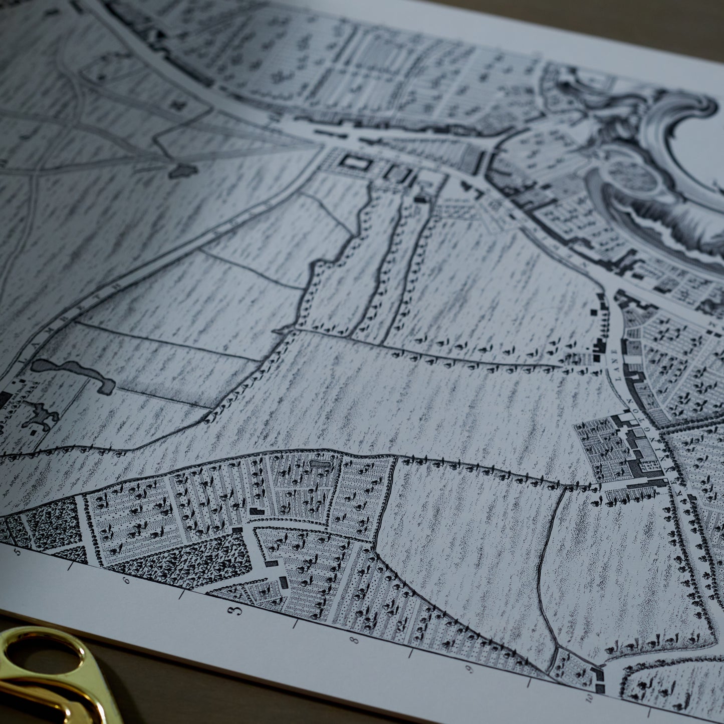
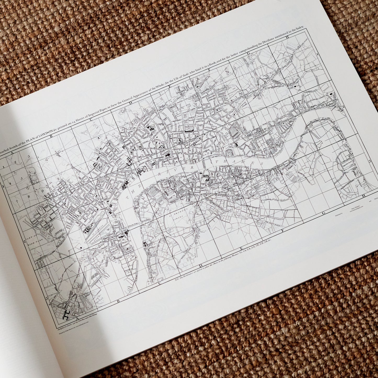
This reproduced publication, measuring 32.5" (82.5 cm) wide by 22" (55.9 cm) high, consists of: a cover sheet; an introduction by James Howgego, a past Keeper of Prints and Pictures at the Guildhall Library, London; a key sheet and 24 map sheets, at a scale of 26" to a mile. The map sheets form a grid eight across and three high, with the image on each sheet being approximately 27" (68.6 cm) high by 19" (48.3 cm) wide, thus forming a map area of approximately 12' 8" (386 cm) by 6' 8" (203 cm) if trimmed and assembled. If the two outer columns were ignored (and their borders transferred to the second and seventh columns), the assembled map area becomes approximately 9' 6" (290 cm) wide by 6' 8" (203 cm)."
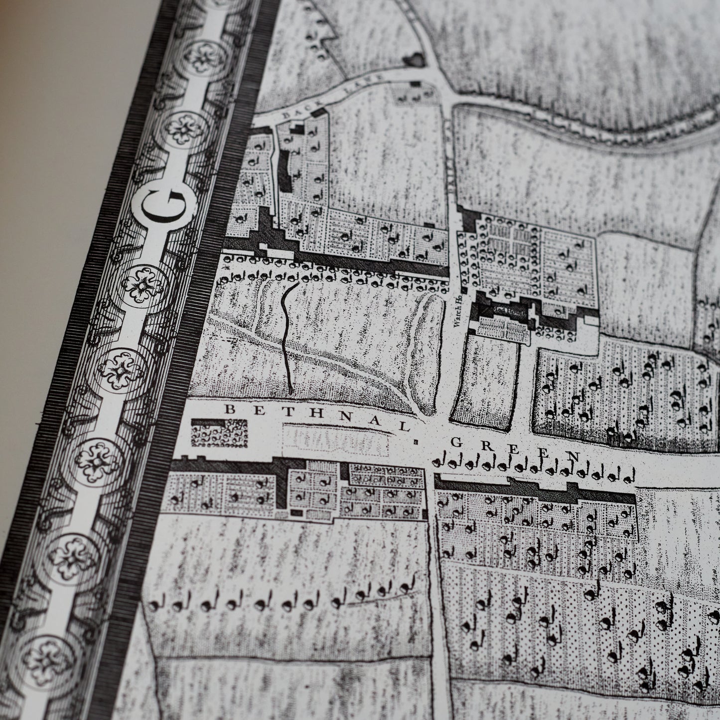
The original image was captured, in 1970, by photographic process, which, after being cleaned up and all trace of colouring removed (again by photographic process), resulted in a positive film the same size as the original. This film was then used to create lithographic plates, from which the 1971 print run was taken. The current print run used a digital image, which has been printed lithographically.
The Plan is printed on 140 gsm acid free paper, sidestitch bound in 285 gsm card covers.
The map is sent in a sturdy cardboard roll to ensure safe delivery. Please store flat at your earliest convenience.

