


Mountain Book
Mountain Book
By ploterre
In stock : 1Ref: PLO05
Regular price
£ 14.00
Regular price
Sale price
£ 14.00
Unit price
per
Shipping calculated at checkout.
Couldn't load pickup availability
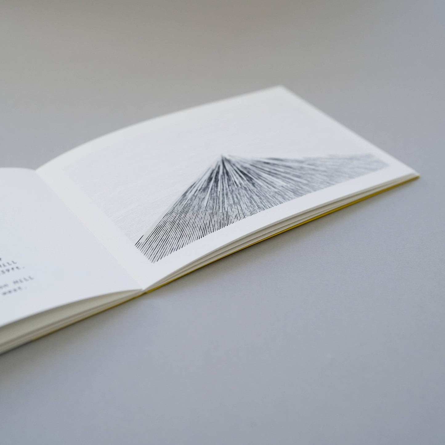
Mapping the summit data of mountain ranges across the British Isles.
Using data from all the summits within 8 national parks, each line represents the height of an individual mountain. Ordered west to east (left to right), the longer the line, the taller the mountain. Each mountain is drawn to scale so the overall height can be compared across the series. The pages work their way from south to north and detail key summits across the geographical area.
The design is based on the infamous Wainwright guides and features a yellow book wrap.
Dimensions: Width 152mm x Height 105mm.
20 pages + cover Data Source Database of British Hills